Radar Vectoring
Be the approach controller: turn, slow and descend arrivals, and clear them for the ILS without losing separation
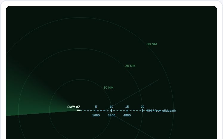
You are the approach controller. Click an aircraft, turn it with the heading buttons, step it down, slow it, then give it the ILS from a heading within 30° of the final course. Keep aircraft 3 NM or 1 000 ft apart. Keys: ←/→ turn 10°, Tab next aircraft.
Select an aircraft
Radar Vectoring is part of lifetime access
Log in if you already have lifetime access, or unlock all 39 simulators, the full question bank and every flashcard for ₹3,499.
Or try the free ones: Wind Triangle and Altimeter.
Your account is on the free plan. Unlock all 39 simulators, the full question bank and every flashcard for ₹3,499, once.
What to try
- Click an aircraft, turn it with the L and R buttons and watch the radio calls build up.
- Slow it down and descend it to 3 000 ft before you clear it for the ILS.
- Clear it for the ILS with a heading within 30 degrees of the final course and see it join the localiser, then the glidepath.
- Switch to Busy and keep three aircraft apart by 3 NM or 1 000 ft.
Exam point
Vector the aircraft to intercept the localiser at 30 degrees or less, below the glidepath, and tell it to report established. A common level for intercepting is the platform altitude, and the glidepath is at about 318 ft per nautical mile for 3 degrees.
Study aid only. Figures here are simplified and fictional, so always use current DGCA and ICAO documents and the approved manual for real operations.